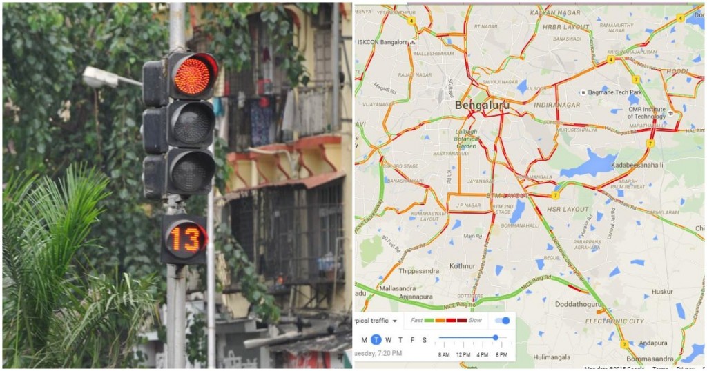
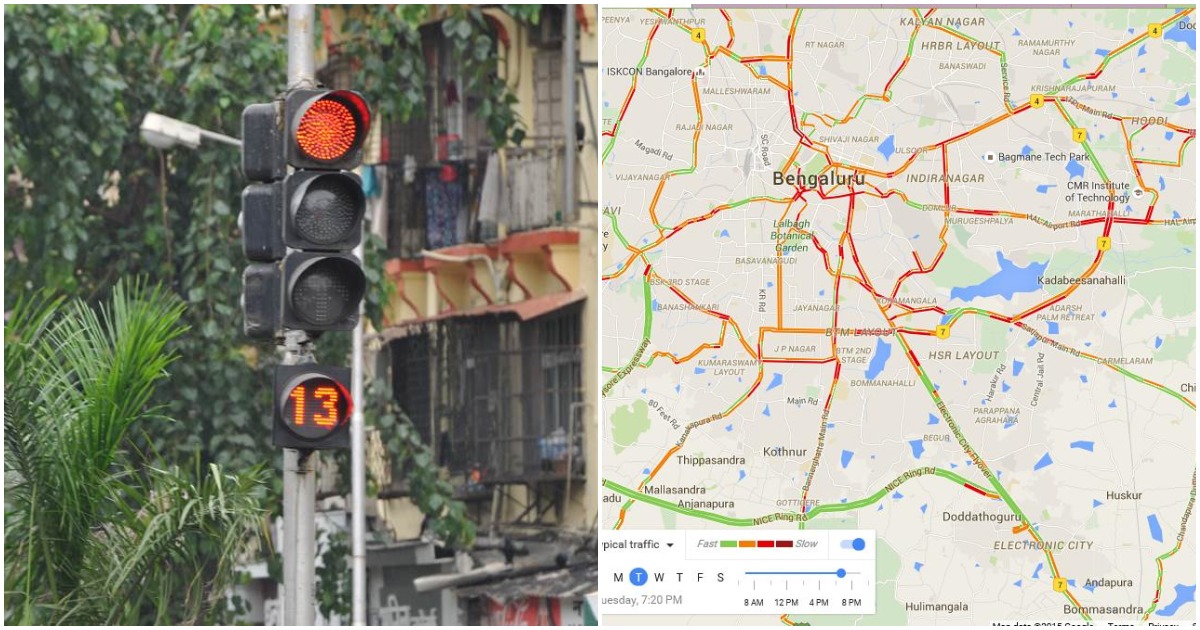
The online and offline worlds are converging, and they’re converging with a vengeance.
Six traffic signals in Electronic City in Bangalore now use Google Maps technology to measure the volume and speed of traffic, and dynamically regulate their timings. The signals run on something called Dynamic Signalling technology, which modify wait times based on the amount of traffic passing through them. “During peak hours one, rightly spends some time at the signal but, during non-peak hours, waiting at a signal is a waste of time, due to a pre-programmed system. Our objective is to reduce this time and to accurately measure the amount of time required to cross without causing inconvenience to the commuters, using the Google mapping technology,” said Rama NS, Chief Executive Officer, Electronics City Industrial Township Authority. The signals are currently live at SBI Toll Junction, Siemens Junction, Paramount Junction, Wipro Junction and Oterra Junction in Electronic City in Bangalore.

“This is currently done on an experimental basis which and will be expanded throughout Electronic City limits,” said Rams NS. “It is the first time that such a technology will be introduced in India. We had carried out limited trials using Dynamic Signalling adapting Google Maps and found that the traffic movement was getting accurately captured by the system and signals activated using this data. Gradually, we expect that the whole Electronic City limits could be covered by this. We are also looking for feedback from the general public and the government,” she added. The signals are being fed data from Google Maps, and also have a command center which coordinates its operations. All signals are connected by optical fibers.
This would appear to be a fairly clever solution — commuters across India already use Google Maps to pick routes which have the least traffic, and the data is freely available. It’s not too much of a stretch to have traffic lights to use it as well. By adjusting their on and off times based on the amount of traffic they expect to encounter, these dynamic traffic lights can help ease congestion, and perhaps shave a few minutes off commuters’ travel times.
But the interplay between the online and offline worlds that this solution brings about it perhaps even more remarkable. Traffic data exists in physical, or offline, world, and Google picks it up and brings it online through Google Maps. This data, in turn, is now being to used to power traffic signals, which operate in the offline world. These traffic signals end up influencing real traffic patterns, which would change the online data that Google Maps would have to provide. There’s a neat feedback look between the offline and online worlds that’s being formed here, and one that couldn’t have been thought possible even until a few years ago. It remains to be seen how the Google Maps-powered traffic lights fare, but they represent a significant step up in how technology is beginning to seamlessly blend in with the real, physical world.

6 thoughts on “Bangalore’s Traffic Signals Now Use Google Maps Data To Dynamically Regulate Signal Timings”
Comments are closed.